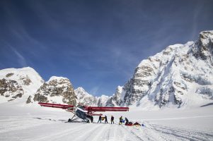
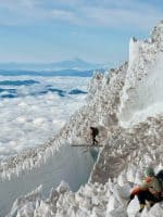
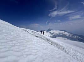
Latest Photos of the Icefall


Guide Damian Benegas goes above the call of duty (as usual), joining the Sherpa in setting up the route through the icefall. Damian sent us stunning photos of the icefall overlaid on a Google Earth map. You will need to have (or download) Google Earth in order to view.

http://alpineascents.com/cybercasts/everest/2015/Day1320142015.kmz

Once you’ve installed Google Earth:

(1) Click on the above link;
(2) Save the file;
(2) Once you open the file, Google Earth should open automatically;
(3) Scroll your mouse over the camera image. Click on the camera when your mouse is a pointer

.icefall pic


ALPINE ASCENTS BLOG

  • Training for Denali Webinar

    If Denali is on your horizon, it’s time to get serious about training. Join world-renowned alpinist, Uphill Athlete founder, and co-author of Training for the Uphill Athlete, Steve House for a deep dive into what it truly takes to prepare for North America’s highest peak. In this session, Steve breaks down the key principles behind […]

  • Cascades Conditions Report 9/3/2026

    Hello climbers, It felt like the switch to fall happened in the mountains this week!  Cool temperatures and precipitation have returned to the mountains.  New snow returned to mid and upper elevations over the last couple days, and a handful of inches is expected over the next few days and leading into the weekend as […]

  • Cascades Conditions Report 8/19/2026

    Hello climbers, Conditions continue to stay phenomenal around the mountains in Washington. Smoke forecasts look really good throughout the rest of the week and into weekend. We are starting to see some mid to late August weather patterns start to creep in, with blip of cooler temperatures and light precipitation working its way into the […]

Partners & Accreditations

Alpine Ascents International is an authorized mountain guide service of Denali National Park and Preserve and Mount Rainier National Park.
© Copyright 2026 All Rights Reserved. Alpine Ascents International